Digital Surveying

Topographical & Bathymetric Surveys’
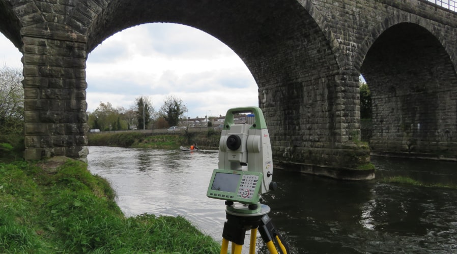
Since 2019, Equilibrant have been appointed consultants on Iarnrod Eireann’s bridge scour inspection framework and in addition we have completed a significant number of bridge scour inspections for Translink and Highway Authorities throughout Ireland, North and South. This involved combining single beam bathymetric river surveys, total station topographic surveys, structural elements face surveys and underwater dimensional surveys of scoured substructures to form overall 3d scour models from which clients carried out scour assessments of the structures.
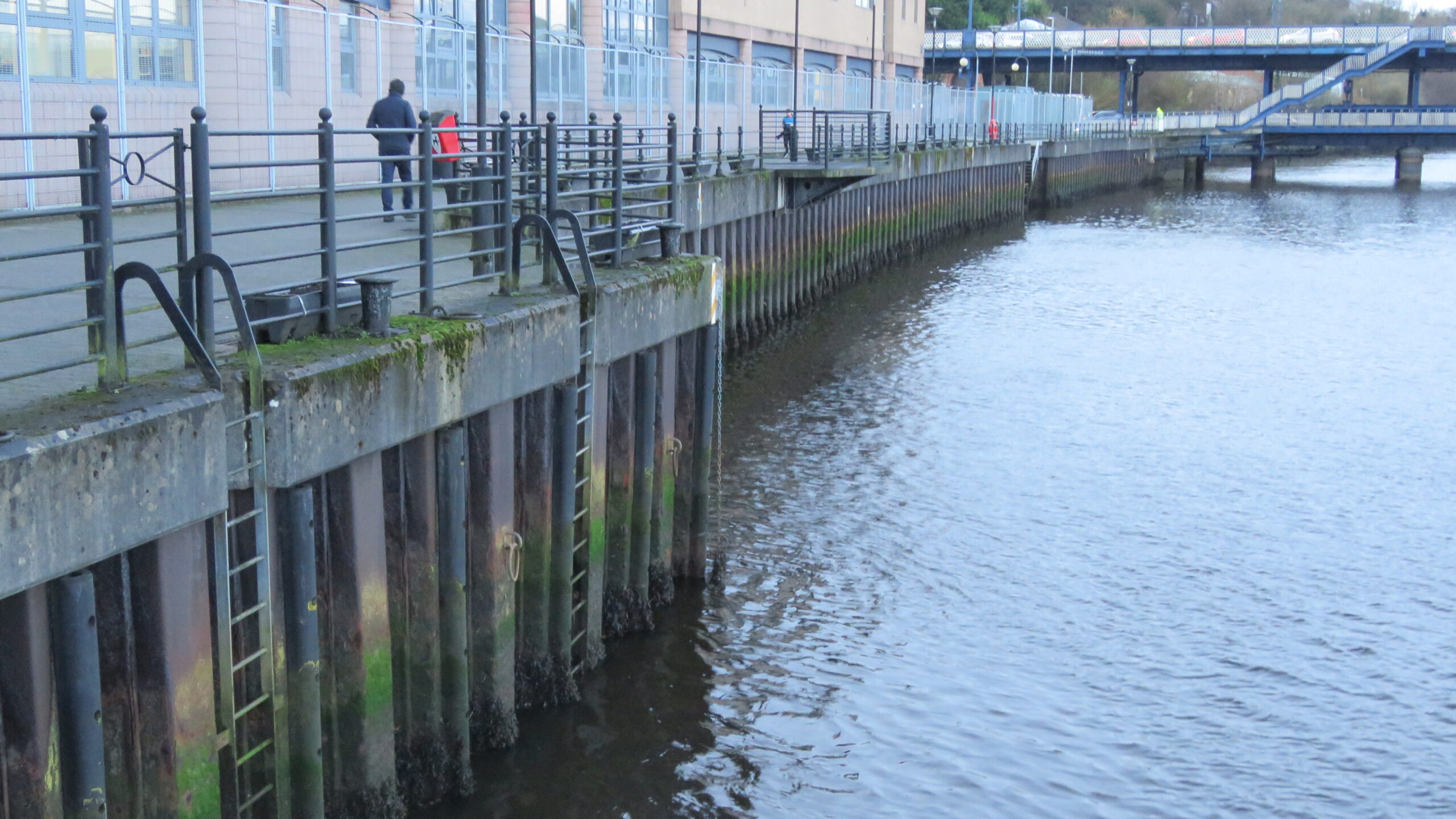
Equilibrant has a range of vessels suited to different waterway and marine conditions and tailor our service provision to the clients’ needs. We also offer multibeam sonar surveys with seabed level maps to assist with dredging operations. We have combined underwater multibeam technology with above water drone photogrammetry to present a full digital representation of marine infrastructure above and below water.


Structural Monitoring
Equilibrant has extensive experience of subsidence monitoring for the insurance industry to determine if or to what degree a building is moving. We carry out subsidence monitoring where there is evidence of structural cracks suggesting movement, where there is a potential risk of movement due to external factors such as nearby ground construction works or to confirm that underpinning of existing building foundations have stabilised the structure. We employ various techniques including digital level fixed position monitoring and tell-tale crack monitoring.
3D Point Cloud Scanning
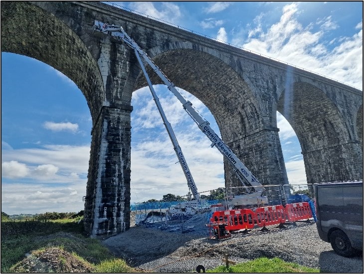
Equilibrant has extensive experience in 3d point cloud capture including the use of Leica’s RTC360 and BLK 360 laser scanners to capture historic railway structures and provide HDR imagery with the point clouds. Highly accurate point cloud data combined with HD 360 video capture and our innovative access techniques has allowed for detailed examinations of inaccessible structural elements while pushing the boundaries of the available surveying technologies. Such examinations would not previously have been possible as high accuracy fully dimensioned surveys could not be completed without man-access.


